The lower sections of the river from McLeods Bluff are described at http://rivers.org.nz/nz/otago/shotover. Between the farmland in the upper valley and the commercialized lower valley, it’s not exactly wilderness travel. But the lower river was a lot of fun and is easily accessible, and there is good hiking in all directions from the upper valley.
Upstream of the flats at the Branches Station the river stays flat and the valley open in comparison to the canyons later on in the lower section (it’s private land north of the station, ring to get permission). I was able to put in at the Lake Creek confluence (which drains Lochnager), however later in a dry summer it might get too shallow until lower down. I should have gotten a figure for the river level from the jetboating outfit, but I imagine it was pretty low. With more water you could go further up, but at the north end of Pine Creek Flat the river looks too steep and confined for much rafting. From here it’s generally a flat easy paddle through farmland all the way down to the Branches. There are two very short but fun gullies at Sixteen Mile Creek (easy II), and also another short narrow section at Greenland Flat (II), which had the only drop that I portaged on the whole run, but in the main this is flat water paddling. There is an irritating braided gravel flat at the Branches, after which the valley narrows and you begin to get into the canyon.
This was definitely the more interesting half of the run. From the south end of the flat the valley slowly narrows and steepens, it’s Class I up to McLeods bluff where the run linked above begins (described as II+). The section from here through to Skippers Bridge was a lot of fun, with constant and consistent action, with no particularly tricky bits. The rapids slide across flat terraced sort of rock, rather than being bouldery. From Skippers through to Deep Creek the water is easier, but still not exactly flat. Downstream of the Skippers bridge jetboats operate on the river - they have a fairly fixed timetable, so get the schedule from them and you can probably time things so it’s not an issue. I ended up on the water in the evening anyway when no one was about (which was a pity because I was losing the light down in the canyon, which is spectacular).
I got out at Deep Creek to walk back up Skippers Road, which meant I skipped the Class IV rapids further down. But I believe these don’t begin until just before the Moonlight Creek confluence (the print version of the Graham Charles book has a sketch diagram of the lower river), up to here sounds similar to further up the valley (II/III), so if you didn’t want to tackle the Class IV rapids, it looks like you could still raft down to Moonlight Creek and walk over the Devil’s Creek track back to Coronet Road.
Times were :
4 hours from Lake Creek confluence to Branches flats
4 hours from Branches flats to Deep Creek
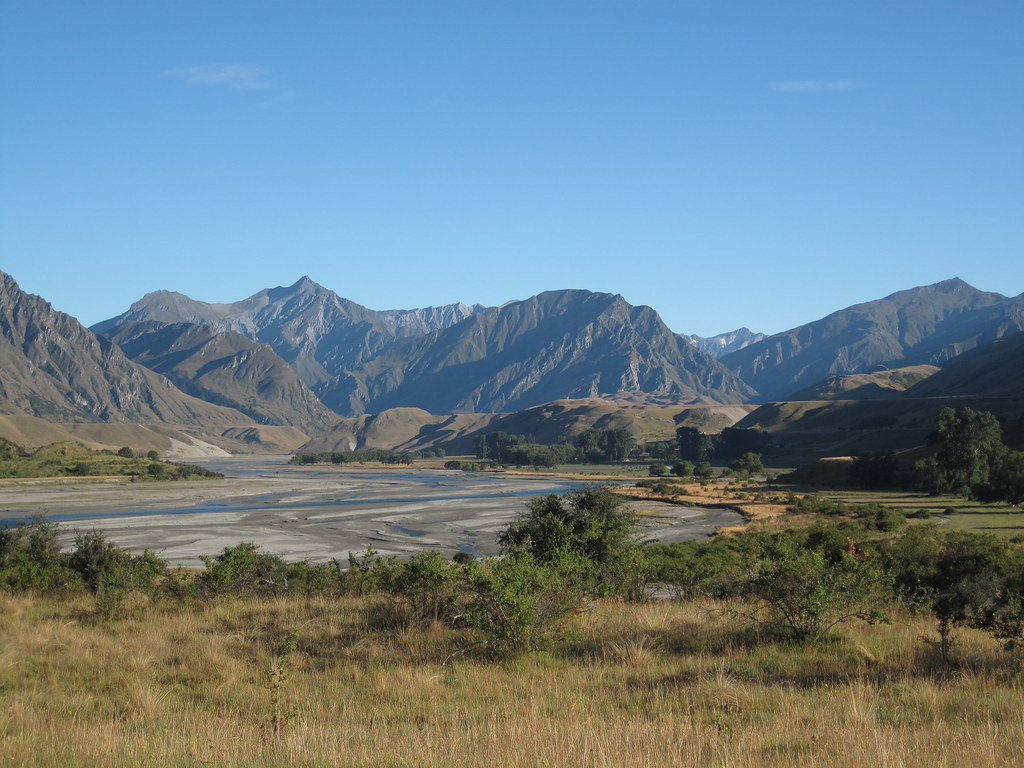
Looking north across the flats at the Branches:
Portaging a drop at Greenland Flat: